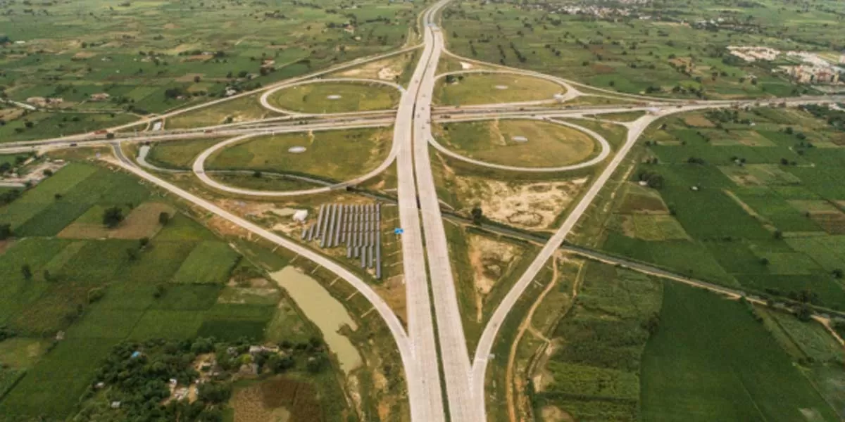
RoW refers to a set of property rights granted to government agencies, allowing them to construct and maintain road projects. The nationwide mapping effort will assist these agencies in compiling a consolidated record of land for government use.
An official involved in the program stated that for this land data asset management initiative, the ministry will establish a dedicated unit and assemble a team of land and GIS experts. This team will assist regional offices across various states in gathering plot-wise information. The official also mentioned that the exercise will include reviewing available government documents and conducting on-the-ground visits to towns or villages.
The ministry already operates a land acquisition portal, Bhoomi Rashi, which serves as a centralised platform for processing land notifications and streamlining the land acquisition process, including information on land records within and outside the RoW. Officials noted that the details gathered through the mapping process will eventually facilitate the identification of unutilized land parcels through the portal.
A dedicated unit will be established to review and provide recommendations for improving the online platform used to compile digitised land records and create a centralized land repository. The official added that this initiative will also lay the foundation for future upgrades to the portal. Currently, the total length of national highways, including expressways, is approximately 1.40 lakh kilometre.
The ministry plans to conduct workshops for officials, in coordination with the land acquisition division, to explain the methodologies and processes for digitising revenue maps and collecting and collating data. To ensure the effectiveness of the initiative, the progress will be monitored on a weekly basis.


