According to MMRDA officials, the ambitious structure will feature a four-lane road and metro rail tracks, integrating multiple key infrastructure projects including the Virar–Alibaug multimodal corridor and the Mumbai–Ahmedabad bullet train corridor.
“We are in the process of appointing a consultant to prepare a detailed project report for the proposed flyover,” said an MMRDA official, adding that the consultant will also oversee bidding and project execution.
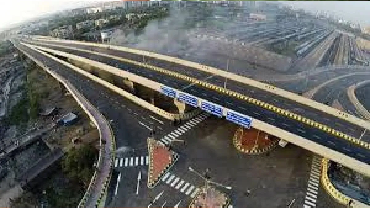
India’s Longest Flyover in the Making
At present, Hyderabad’s 11-kilometre Visweswaraiah flyover holds the record as India’s longest, while the Yamuna Expressway remains the longest elevated road at 165 kilometres.
The proposed flyover will begin at Shil Phata on National Highway-48 (Old Mumbai–Pune Highway), pass through Dombivli and Kalyan, and end at Ranjnoli junction on National Highway-160 (Mumbai–Nashik Highway). It will also intersect with other key projects, such as the Airoli–Katai Freeway and the Virar–Alibaug multimodal corridor.
Integrating Metro and Bullet Train Links
The upper deck will accommodate three metro lines—Metro 5 (Bhiwandi to Kalyan) between Durgadi Fort and Ranjnoli junction, Metro 12 (Kalyan to Taloja) between Kalyan APMC and Runwal junction, and Metro 14 (Kanjurmarg to Badlapur) between Shil Phata and Katai Naka.
“The alignment of the Mumbai–Ahmedabad bullet train, which runs near the proposed route, will also be reviewed during the preparation of the detailed project report,” the MMRDA official added.
Engineering Challenges Ahead
The flyover will cross railway tracks at two points—before Katai Naka and at Patri Pul in Kalyan. Officials noted that constructing over the busy central line, which carries numerous long-distance trains, would present significant engineering challenges.
Once completed, the Shil Phata–Ranjnoli flyover is expected to significantly enhance regional connectivity, ease traffic congestion, and integrate road, rail, and metro transport in the rapidly expanding Mumbai Metropolitan Region.