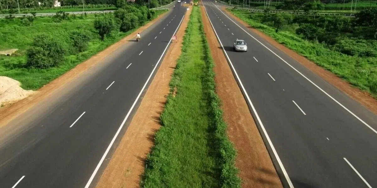
Developed under the RARE (Rural Agriculture Region Economy) model, the blueprint envisions a comprehensive mobility ecosystem featuring a Regional Rapid Transit System, the North–South Dedicated Freight Corridor (NSDFC), a network of radials, ring roads and major cross-state corridors. The 430-kilometre North–South Corridor and the 375-kilometre East–West Corridor will be integrated with Praja Valayam and Telangana Maniharam to create seamless rural-urban linkages.
According to the vision document, the primary goal is to boost rural prosperity by improving farmers’ access to markets, reducing transport bottlenecks for agricultural produce and ensuring rural populations become active participants in the state’s economic expansion. Enhanced connectivity is expected to spur the growth of food-processing units and agro-based industries, attracting investment and generating jobs in rural areas.
The government also plans to connect the rural mobility grid with the Regional Ring Road (RRR) and state borders, creating a continuous circulation network across Telangana. The policy calls for preparing a detailed master plan for a unified road system and identifying a core road network to guide long-term infrastructure development.
A major expansion of key road categories has also been proposed:
National Highways: from 4,983 km to 6,500 km
State Highways: from 1,687 km to 8,600 km
Major District Roads: from 11,536 km to 14,800 km
Other District Roads: from 15,852 km to 20,560 km
This represents one of the largest planned upgrades in the state’s road transport infrastructure.
