
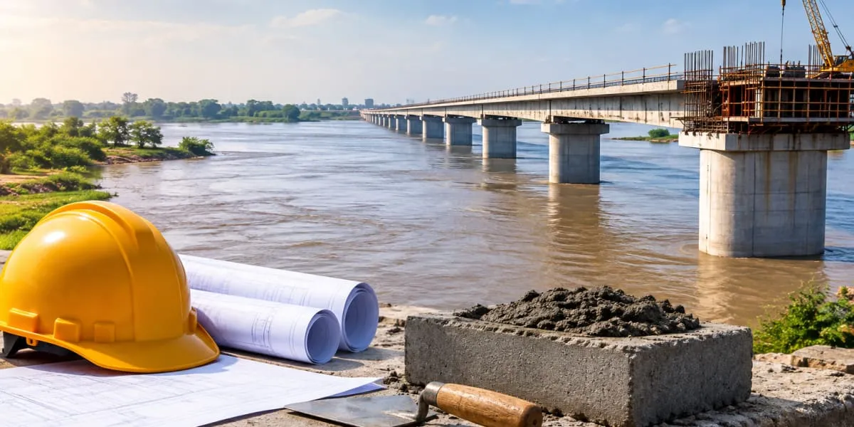
The existing causeway and its approach road, built in 2016, frequently become submerged when the Ghaggar rises. This forces traffic to stop and disrupts connectivity for commuters travelling between Mubarakpur, Dhakoli and nearby areas. The elevated bridge is expected to keep vehicles moving during heavy rain and flooding while offering a safer route.
According to project details, the main bridge will measure 300 metres. It will be connected to a 250-metre approach road on the Mubarakpur side and a 240-metre approach road on the Dhakoli side, taking the combined length of the bridge and approaches to 790 metres. Service roads with a total length of 370 metres will also be built on both sides.
The structure will feature a 9.5-metre carriageway, along with footpaths measuring 0.75 metres in width. Reinforced concrete railings, each 0.5 metres wide, will be provided on either side, making the overall structure 12 metres wide.
Public Works Department executive engineer Harpreet Kataria said the construction schedule was 18 months and that the project would create a safer, more reliable road link between Mubarakpur and Dhakoli. He added that it would improve transport facilities for residents of surrounding areas. Randhawa said the bridge would provide a permanent solution to traffic interruptions caused by water flowing over the existing causeway.